Real Estate

Commercial and Residential applications available. High quality aerial photos and video. Show your clientele a unique point of view of a property that is ready to sell on the market.

Industrial Inspections

Wind turbines,bridges,electrical poles,solar panels,power lines and telecommunication antennas,are among some of the applications in which we rely on our drones to make the job more efficiently,faster,safer and cost effective. With HD live video,thermal imagery or zoom options we can assess the structure. Coming soon…

Damage Control

Our drones are at the cutting edge when mother natures fury is unleash upon us or when man made disasters strikes. From the sky we can help evaluate the damage caused by such events so you may quickly take action and implement your damage control strategy.

Mapping/Geospatial

Volumetrics: Measure stockpiles and volumes of raw material available at site. With precise accuracy.

Orthomosaic map: is a detail and accurate photo representation of an area with 3D or 2D modeling. That has been stitched together and geometrically corrected. Real Estate, Construction,Disaster management, Agriculture and Forestry are some if the fields in which it is really helpful. 

Drone mapping will be safer,quicker and cost effective for all your surveying needs!


Agriculture

Crop scouting,crop health monitoring,field surveying,nitrogen recommendation,yield monitoring,drought assessment,pest detection,3d/volumetric data or you just need to fertilize crops or maybe use some pesticides and fungicides spray over your field, this are some of the benefits of sUAS in the agriculture world. Coming soon… 

Night Wings

Once our waiver is approved, we will be able to operate for all your needs at night if needed.   Coming soon…

Special Events

Corporate parties,weddings or special events. Let us know if you wish a cool video or photos from a unique aerial view so you may remember that special occasion. Remember memories last for a lifetime.

Outdoors

Are you an outdoors person? Do you love extreme sports? Let us know how can we help. Let us do the photos and videos to show your abilities all over your social media accounts or web page.

Maybe you would like to have a video of your fishing trip or an outdoor family gathering. Drones Vizion can help!

Search and Rescue

We will voluntarily put our UAV up in  the sky to assist our First Responders and Our Armed Forces to help in any way, shape, or form with search and rescue operations. We have at our disposal infrared cameras so we may identify potential survivors so they can be rescue “asap” When it becomes a life or death situation we will never ask for any compensation. “Ask not what your country can do for you – ask what you can do for your country” JFK

Pro Bono

Security

Private security for special events. Have our drone monitor from above the surroundings. With high definition photos and videos surveillance as well thermal vision we can identify any treat from a distance.                                Coming soon…             

Mapping NDVI +NIR

This application is essential to monitor the health of your crops through the various development stages. NDVI is a measurement of plants health based on how a plant reflects sunlight. For a free consultation,let us know.                                 Coming soon……


Thermography

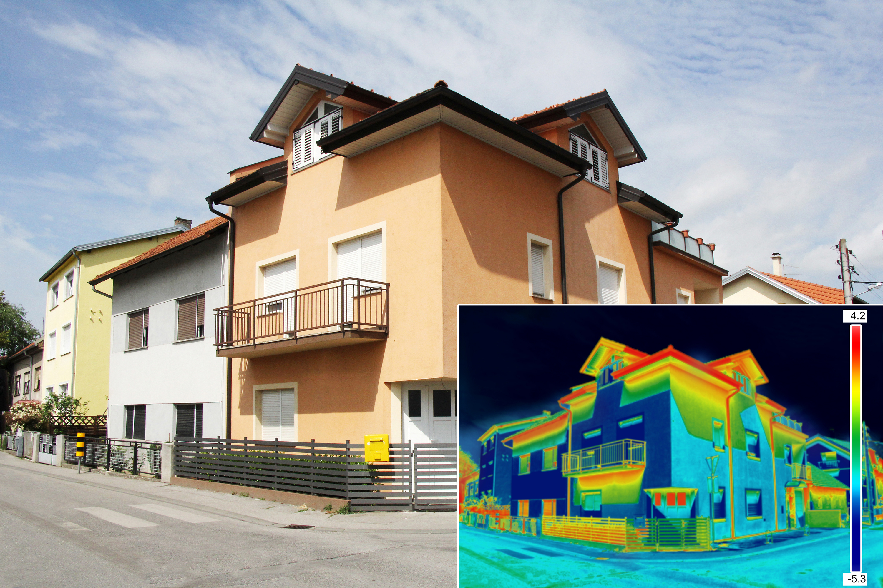
With the use of our infrared cameras mounted on our UAS we can efficiently determine many problems on your property saving you money. We can accurately inspect the roof on your house or business detect water leaks or the lost of heat on your property or business. Insuring accuracy and safety at a low cost. 

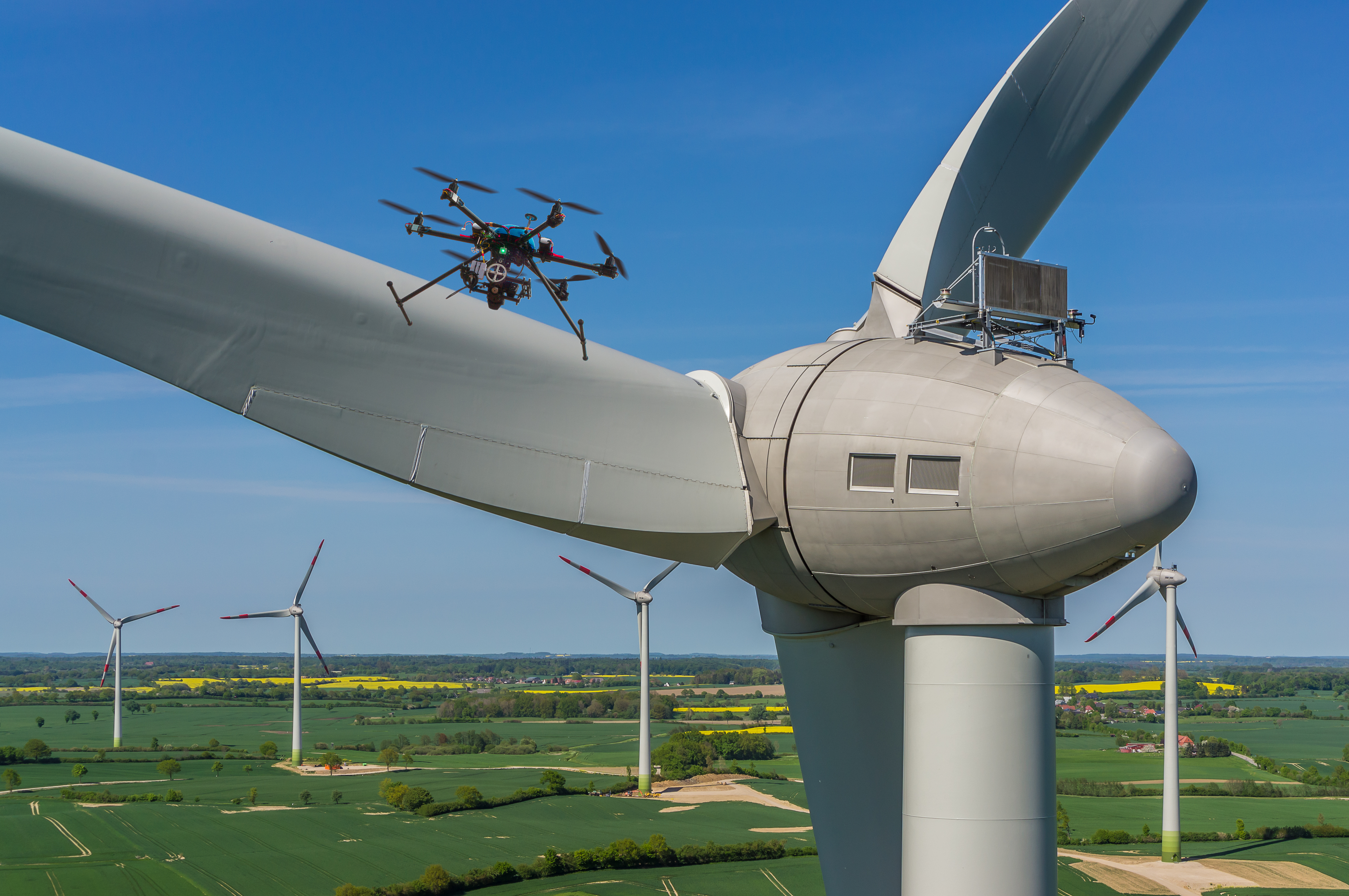
Thermal imaging can detect over heating areas and weak points in the transmission and distribution network, which is a highly complex system of the power lines.

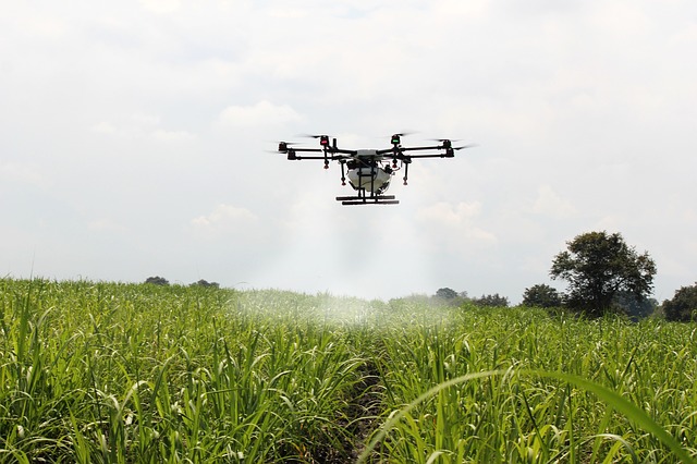
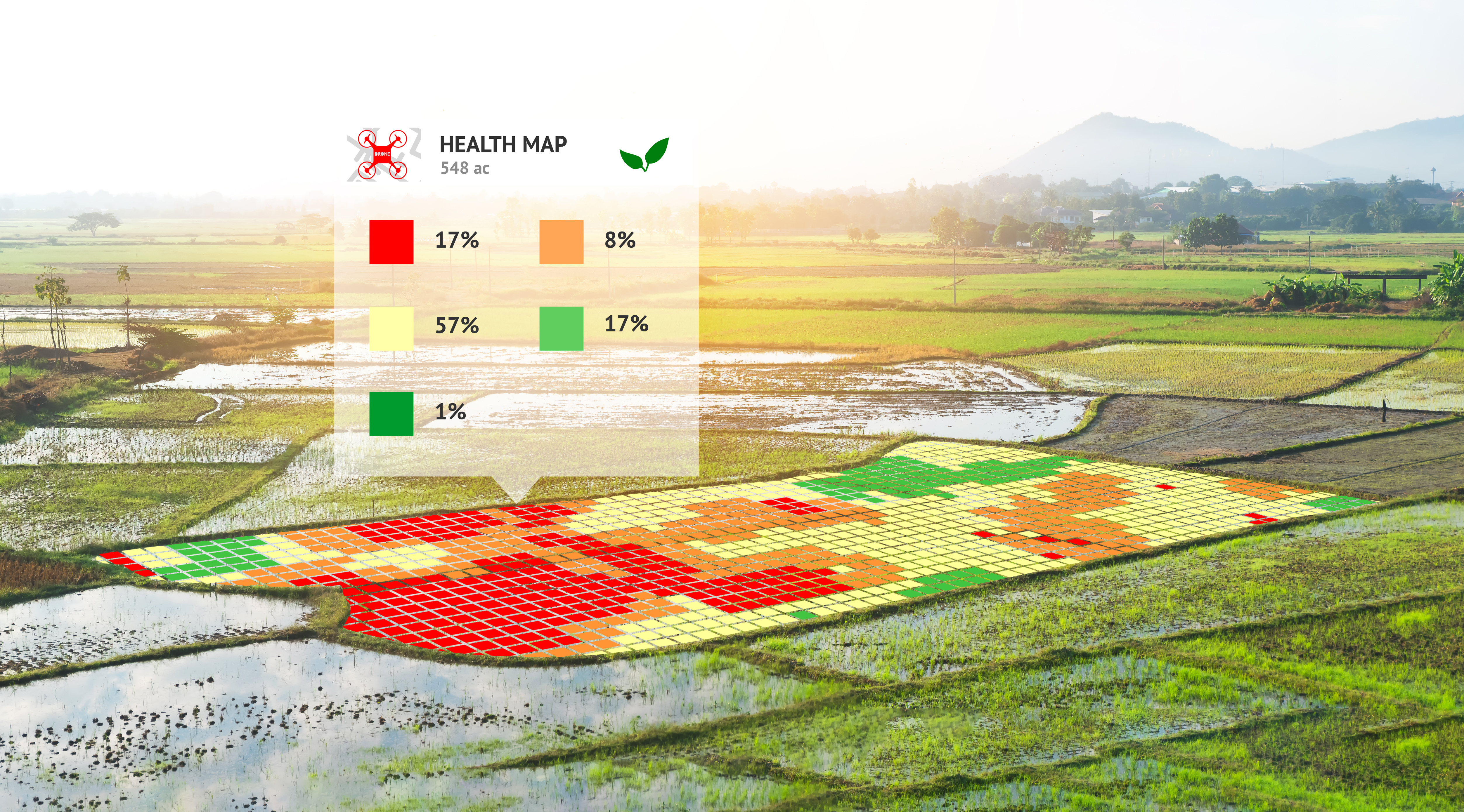
 Solar panel malfunction leads to a huge loss of potential energy gathered. With our drones thermal camera we can detect for example hot spots, cell rupture, delamination, faulty module just to name a few.

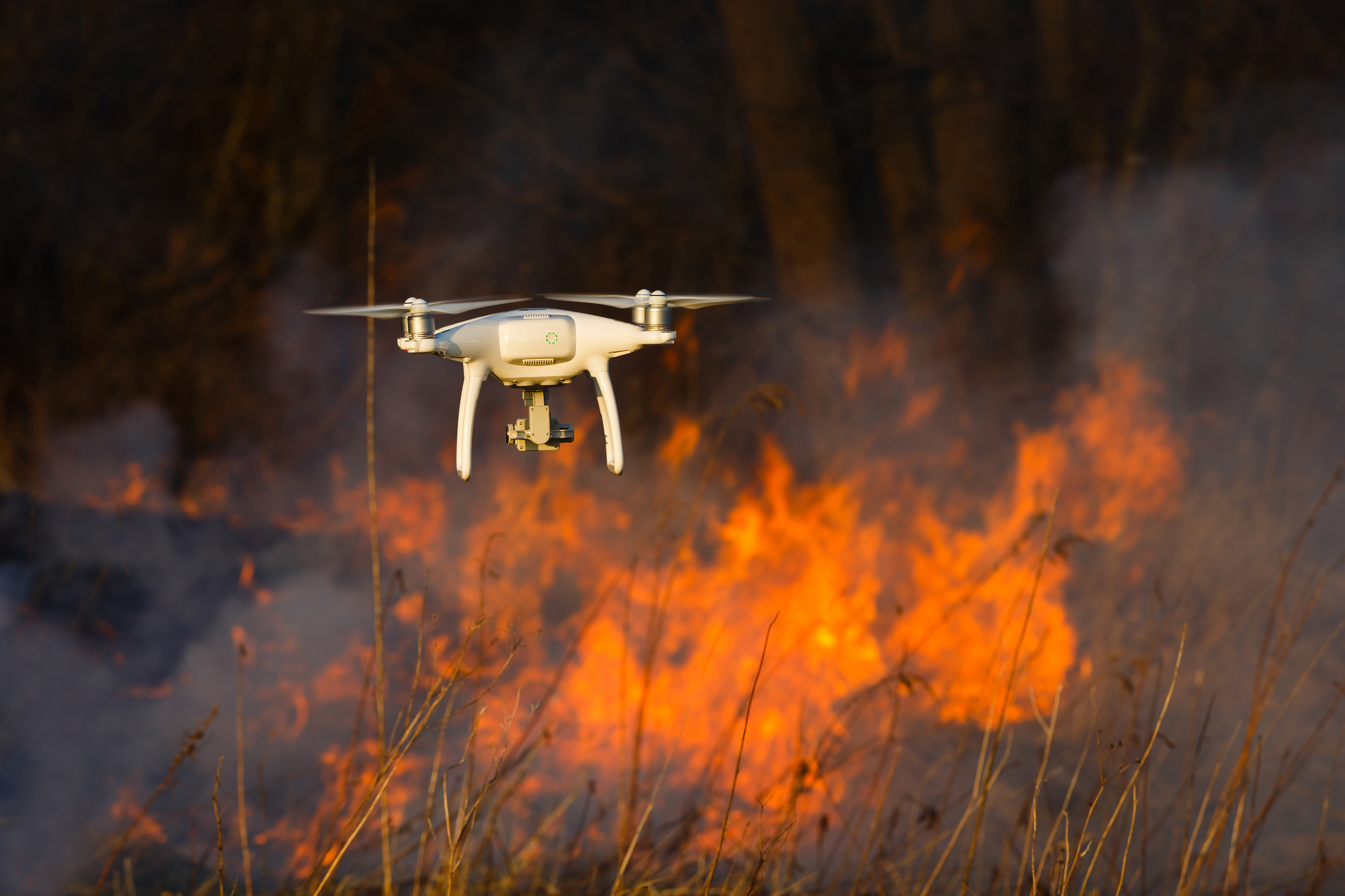
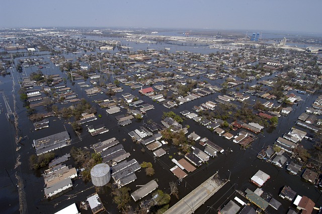
 Just as power lines cell towers problems can be identify quick at a safe distance. Thermal imaging can assist during natural disasters for search and rescue operations or for finding people lost outdoors. Certain restrictions apply. Contact us for more information.

Contact us

Some of the services we offer are required by law to have a valid license for commercial purposes. We will fully comply with regulations and will sub-contract a license person if needed depending on what type of job is at stake. Contact us, our fleet is ready on stand-by….

Close Menu